Thessaloniki gets ready for its metro launch in November
The underground rapid transit lines have been under construction for almost two decades due to various project delays
 TheMayor.EU logo
 Users can learn more about the construction and architects of the capital’s buildings and monuments
Last week, the Prague Institute of Planning and Development (IPR) unveiled an application with a detailed map of the Czech capital’s historic centre. This map, according to IPR, was developed following an architectural and urban analysis of the city’s monument reserve and contains all the information about its architectural history. Although IPR designed it to make it easier for professionals to care for the monuments in the centre, the map will also benefit the capital’s residents, tourists, and students.
Covering an area of 895 hectares, Prague’s historic centre occupies practically the entire centre of the city and is known as one of the largest monumental reserves in the world. IPR’s interactive map (also referred to as the Historic City Centre application) now allows professionals and the general public to get a better understanding of this territory.
The Historic City Centre application is the first place where historical and current data about the territory and its buildings are collated and put together. There, one can find out anything they want to know about the monuments in the capital, filtering information according to what they are looking for.
More specifically, one can search for individual buildings according to their design, date of construction, and the architect who designed them. For this reason, the map is not only a good tool for professionals and tourists but also those studying art history or architecture.
“The application is like a Wikipedia about Prague. Few cities have such a deep knowledge of the monumental value of the houses that are located in their territory. I am very glad that so much valuable information from the archives has been digitized and made accessible to everyone who loves Prague,” commented Deputy Mayor for Transport and Monument Care, Adam Scheinherr.
To access the map, visit IPR’s website.
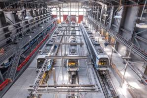
The underground rapid transit lines have been under construction for almost two decades due to various project delays

Now you can get your wine in Talence by paying directly in Bitcoin

That’s because the state has to spend money on updating the railway infrastructure rather than subsidizing the cost of the popular pass

Rethinking renewable energy sources for the urban landscape

The examples, compiled by Beyond Fossil Fuels, can inform and inspire communities and entrepreneurs that still feel trepidation at the prospect of energy transition

Now you can get your wine in Talence by paying directly in Bitcoin
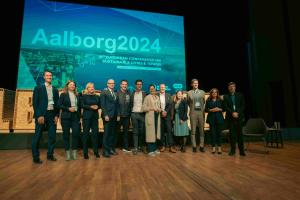
The 10th European Conference on Sustainable Cities and Towns (ESCT) sets the stage for stronger cooperation between the EU, national and local level to fast track Europe's transition to climate neutrality.

At least, that’s the promise made by the mayor of Paris, Anne Hidalgo

The underground rapid transit lines have been under construction for almost two decades due to various project delays

At least, that’s the promise made by the mayor of Paris, Anne Hidalgo
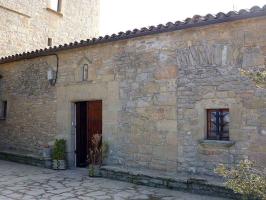
Hostal de Pinós is located in the geographical centre of the autonomous region
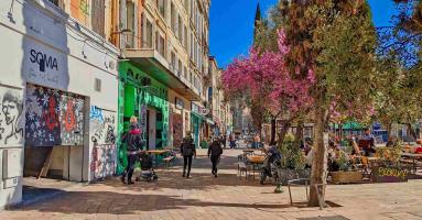
Despite its church-y name, the district has long been known as the hangout spot for the artsy crowds

Urban dwellers across the EU are having a say in making their surroundings friendlier to people and the environment.

Forests in the EU can help green the European construction industry and bolster a continent-wide push for architectural improvements.

Apply by 10 November and do your part for the transformation of European public spaces

An interview with the Mayor of a Polish city that seeks to reinvent itself

An interview with the newly elected ICLEI President and Mayor of Malmö

A conversation with the Mayor of Lisbon about the spirit and dimensions of innovation present in the Portuguese capital


